De Pere Tree Inventory & Map
De Pere's urban forest
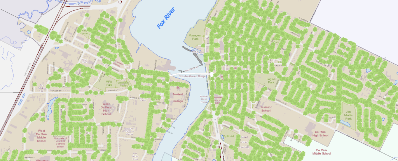
The City of De Pere has thousands of trees, including more than 8,000 located within City streets right-of-way (ROW) corridors. This generally refers to the space between a sidewalk and curb.
Both the City of De Pere's forestry and GIS division have done an exhaustive inventory of each of these trees, providing information on location, height, condition and much more. You are welcome to view this interactive map. You can find the City of De Pere's tree map at this link. You'll need to agree to the terms of service, navigate to the "Layers" option, and make sure you've toggled on "trees" to begin viewing our tree inventory.